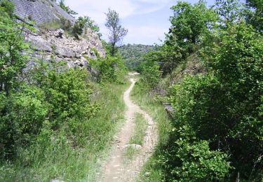
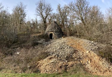
62 km | 81 km-effort
sortie montat 04
cps46
Gebruiker
Lengte
14 km
Max. hoogte
271 m
Positief hoogteverschil
348 m
Km-Effort
18,6 km
Min. hoogte
168 m
Negatief hoogteverschil
350 m
Boucle
Ja
Datum van aanmaak :
2016-04-02 00:00:00.0
Laatste wijziging :
2016-04-02 00:00:00.0
1h57
Moeilijkheid : Onbekend
Gratisgps-wandelapplicatie
Over ons
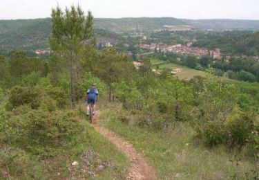
Tocht Mountainbike van 14 km beschikbaar op Occitanië, Lot, Le Montat. Deze tocht wordt voorgesteld door cps46.
Plaatsbepaling
Land:
France
Regio :
Occitanië
Departement/Provincie :
Lot
Gemeente :
Le Montat
Locatie:
Unknown
Vertrek:(Dec)
Vertrek:(UTM)
377407 ; 4915627 (31T) N.
Opmerkingen
Wandeltochten in de omgeving
Raid Cahors La Rozière 2006
Mountainbike
Zeer moeilijk
Cahors,
Occitanië,
Lot,
France
59 km | 78 km-effort
4h 40min
Ja
Montat
Stappen
Heel gemakkelijk
Le Montat,
Occitanië,
Lot,
France
8,3 km | 10,2 km-effort
1h 46min
Ja
Flaujac
Stappen
Heel gemakkelijk
Flaujac-Poujols,
Occitanië,
Lot,
France
7,5 km | 10,1 km-effort
1h 48min
Ja
De la Rozière à Labastide-Marnhac
Mountainbike
Medium
Cahors,
Occitanië,
Lot,
France
17,2 km | 22 km-effort
1h 30min
Ja
De la Rozière à Labastide-Marnhac
Stappen
Moeilijk
Cahors,
Occitanië,
Lot,
France
17,2 km | 22 km-effort
3h 30min
Ja
Extra 18 avril à tester
Stappen
Moeilijk
Cahors,
Occitanië,
Lot,
France
12,7 km | 17,5 km-effort
3h 58min
Ja
Extrapedestres 24 avril
Stappen
Moeilijk
Cahors,
Occitanië,
Lot,
France
11,8 km | 16,4 km-effort
3h 43min
Ja
Le montat
Stappen
Heel gemakkelijk
Le Montat,
Occitanië,
Lot,
France
7,4 km | 9,1 km-effort
1h 36min
Ja